In real estate,
precision is power.
Veri-Plan is your single source of truth for buying, selling and managing real estate. Every property is captured and verified with precision – so decisions are made with confidence, not assumptions.

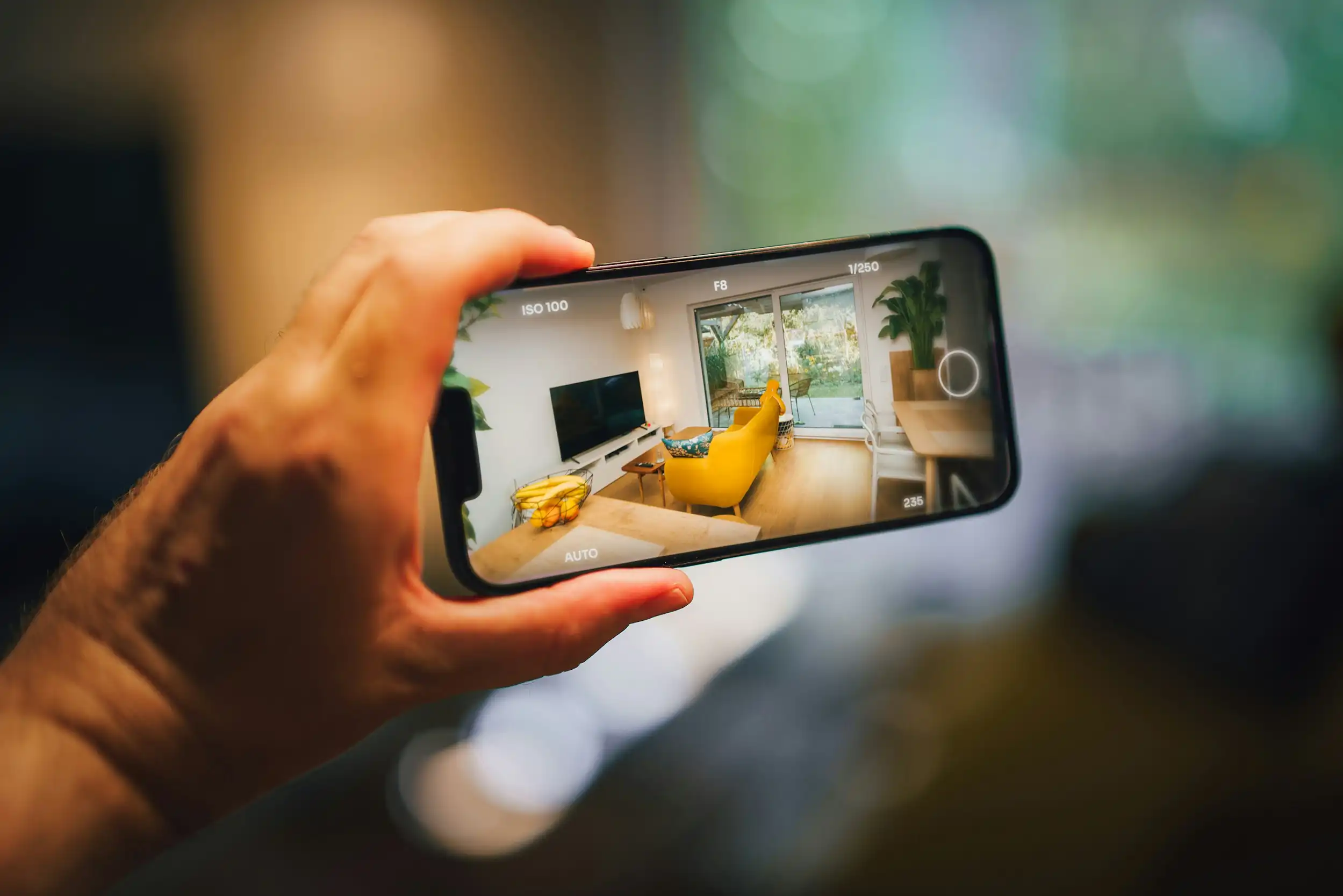
Preston and Maxwell Pisano founded Veri-Plan with one goal, to bring truth to real estate. Using advanced LiDAR and HD image capture, we verify a property’s dimensions and condition. Buyers gain full transparency. Sellers gain a measurable competitive advantage. Property Managers gain actionable insight into their property to support smarter decisions.
Who we serve

Industrial Properties
Experience LiDAR-accurate spatial data tailored specifically for complex industrial sites, designed to enhance both planning and operational clarity.

Commercial Real Estate
Accurate and defensible property data that significantly strengthens listings, enhances leasing processes, and supports long-term asset strategy.

Residential Real Estate
Reliable floor plans and 3D tours that help
buyers and sellers understand a property before stepping inside.
From physical space to verified data
Capture
We scan the property using LiDAR and high-definition imaging to collect millions of precise measurement points — capturing the space exactly as it exists.
Verify
All data is processed, validated, and reviewed by a 3D party source to ensure accuracy, consistency, and reliability across every measurement and spatial detail.
Deliver
You receive verified floor plans, 3D tours, and property intelligence ready for marketing, planning, valuation, or decision-making.
Verified property intelligence, delivered

Verified Floor Plans
LiDAR-accurate floor plans that replace estimates with precise, defensible measurements.

Laser-Level Accuracy
Captured using LiDAR technology to ensure exact dimensions and spatial clarity.

Defensible Data
Measurements you can confidently use for listings, valuation, and decision-making.
3D Virtual Tours
Immersive, data-driven 3D tours that help
viewers understand a space before visiting.

True Spatial Context
Explore properties with accurate scale, layout, and depth.

Faster Decisions
Reduce unnecessary site visits and accelerate buyer confidence.

Drone Photography & Video
High-resolution aerial imagery that adds valuable context to property data.

Aerial Perspective
Showcase site boundaries, access points, and surroundings.

Visual Clarity
Enhance marketing assets with professional aerial photos and video.

Compliance & Verification
Verified property data designed to support regulatory,
disclosure, and documentation requirements.

Measurement Validation
Accurate, auditable data that supports compliance standards and reporting needs.

Risk Reduction
Minimize disputes and exposure with verified, defensible property records.

See the difference accuracy makes
Explore verified floor plans and property intelligence today.